"Condemned" protesters?! Who trapped Rama inside the Prime Minis...
/ 2026-10-23 16:02:00Focus


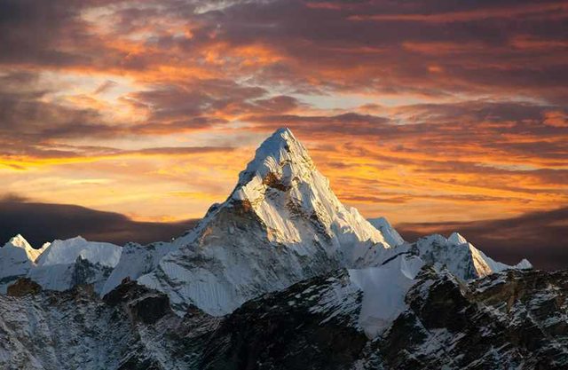
Everest, "unsatisfied" with its 8,849 meters that make it the highest mountain on Earth, continues to grow.
The peculiar phenomenon is due to a nearby river network, which is digging a deep gorge about 75 kilometers away and, in doing so, is causing the surrounding areas to slowly rise.
This was discovered by the study published in the journal "Nature Geoscience" and led by the China University of Geosciences and University College London.
Using GPS instruments, the researchers calculated that Everest is rising at about two millimeters a year and that in the last 89,000 years, since the network of rivers began its work of erosion, it has grown by between 15 and 50 meters.
For researchers coordinated by Jin-Gen Dai of the Chinese university and Matthew Fox of the British one, the cause of the Everest anomaly is the effect known as "post-glacial rebound".
Normally, this effect usually occurs when the glaciers melt and the Earth's crust, relieved of its weight, rises. In this case, the Earth's crust is growing not because of the loss of a glacier, but because of the loss of rock carved by the river.
It is an extremely slow process, but one that can cause significant changes over geologic time.
The phenomenon began 89,000 years ago, when the Arun River joined the Kosi River system, 720 kilometers long, the highest part of which rises to over 8,000 meters above sea level.
"The increasing height of Everest really highlights the dynamic nature of the Earth's surface," says Xu Han of China University of Geosciences, first author of the study.
The rise is not limited to Mount Everest, but also affects several nearby peaks, including Lhotse and Makalu, the world's fourth and fifth highest peaks respectively.